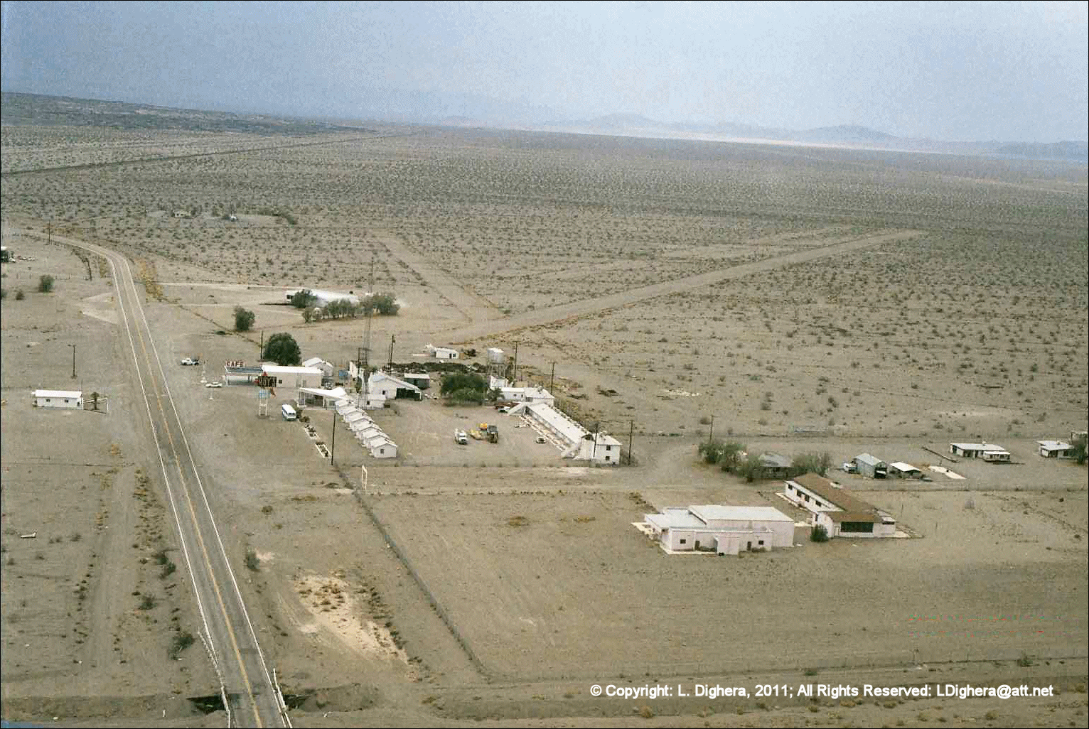
Roy's Café & Amboy Airstrip: The "Civilians' Island"
Approaching from the south, the Amboy Crater serves as the primary navigation waypoint, leading the eye directly to the stark white buildings of Roy’s against the dark desert volcanic flow.
During the Desert Training Center era (1942–1944), Amboy occupied a unique position as a "civilian island" within General Patton's 18,000-square-mile California-Arizona Maneuver Area (CAMA). While the sprawling divisional camps were isolated and austere, Amboy remained a vital hub of infrastructure.
The Strategic Hub: A Civilian Lifeline
Amboy served as a critical railhead for the Atlantic and Pacific Railroad (later Santa Fe), acting as the primary conduit for moving heavy equipment, water, and thousands of troops to the nearby divisional sites at Camp Clipper, Camp Ibis, and Camp Essex.
The airstrips at Amboy were an integral part of the "Sky Trail" network, utilized for "Flying Jeep" courier flights, liaison missions, and medical transport between the scattered divisional headquarters.
The Pilot's Eye: Arrival Sequence
Click any image below to expand.


Aeronautical Evolution: Scaling the Strip
The Amboy facility has evolved significantly since its inception. While the exact date of construction is unknown, its growth reflects the tactical expansion of desert aviation:
| Era | Runway Designation / Length | Context |
|---|---|---|
| 1927 | 1,750 feet | Early Route 66 Era |
| 1929 | 2,640 feet | Pre-War Expansion |
| Post-WWII | "CONN" - 2,700 feet | Post-War Liaison Strip |
| 1960s | "ROY" - 3,700 feet | General Aviation Hub |
Aeronautical Reference: A previously cited "Taylor Airport (IL07)" reference is Amboy, Illinois, and is not related to Amboy, California. For local orientation to the historic Amboy strip, use this estimated center point: 34.561349, -115.748898.
Note: The Amboy runways are currently private/unmaintained. Please consult current Sectional Charts and NOTAMs for the most up-to-date information.
Interpretive aerial survey conducted by Greg Illis and Larry Dighera for Pilot Getaways (2003).